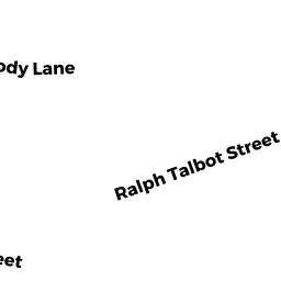
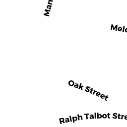
564 RALPH TALBOT ST
Owner Information
NUTTER PATRICIA E
564 RALPH TALBOT ST
WEYMOUTH, MA 02190


Property Details
564 RALPH TALBOT ST is classified as a Single Family Residential (Conventional).
The primary structure on this property was built in 1931. There are 2,000ft2 of built area within this property. There is 2,000ft2 of residential/living space within this property. This property is listed as having 8 rooms.
564 RALPH TALBOT ST is valued at $563,800. The land is valued at $205,200 and the structures are valued at $358,100. There is an additional valuation of $500 on this property.
The most recent deed for 564 RALPH TALBOT ST is recorded at the local registrar in Book 32329, Page 213. 564 RALPH TALBOT ST was last sold on Friday, June 20, 2014 for $260,000.
Assessment data from fiscal year 2022.
Flood Data
According to the FEMA National Flood Hazard Layer, this property does not appear to be in a flood zone. It may also be in an area not yet reviewed. Nonetheless, confirm this information prior to taking any action.
To view the flood hazards around this property, create a FEMA "Firmette" Map of the area around 564 RALPH TALBOT ST.
Broadband Internet Providers
| Provider | Type | Bandwidth (mbps) | |
|---|---|---|---|
| GCI Communication Corp. | Satellite | 0 | 0 |
| HughesNet | Satellite | 25 | 3 |
| VSAT Systems, LLC. | Satellite | 2 | 1 |
| Verizon New England Inc. | DSL | 5 | 0 |
| Viasat Inc | Satellite | 100 | 3 |
| Comcast | Cable | 1000 | 35 |
| T-Mobile | Fixed Wireless | 25 | 3 |
Broadband service provider data from December 2020.
Adjacent Properties
- 140 HOLLY HILL CIR
Single Family Residential owned by ZALESKI JEAN P TRUSTEE - 132 HOLLY HILL CIR
Single Family Residential owned by MCIVER MICHAEL D & NANCY L TBE - 58 FORD RD
Single Family Residential owned by WARWICK SCOTT & MURPHY - 568 RALPH TALBOT ST
Single Family Residential owned by HARRINGTON WILLIAM G & CYNTHIA - 556 RALPH TALBOT ST
Single Family Residential owned by BOSSE BRIAN P & WHITE